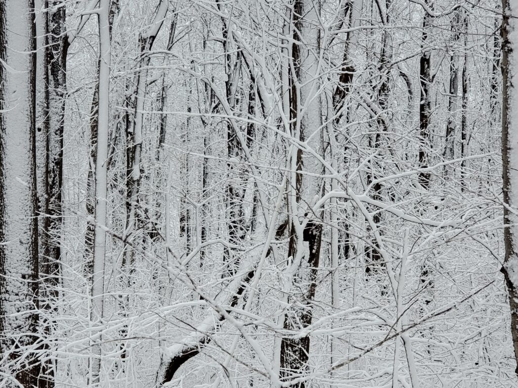
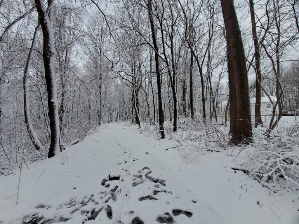
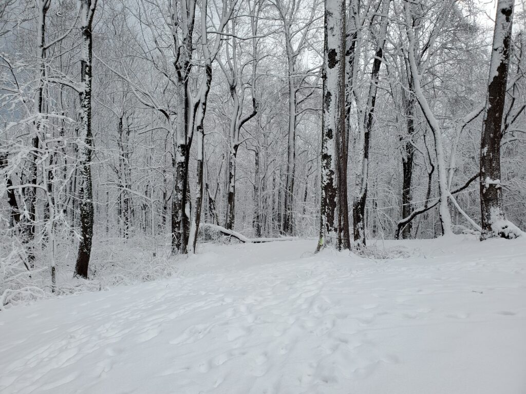
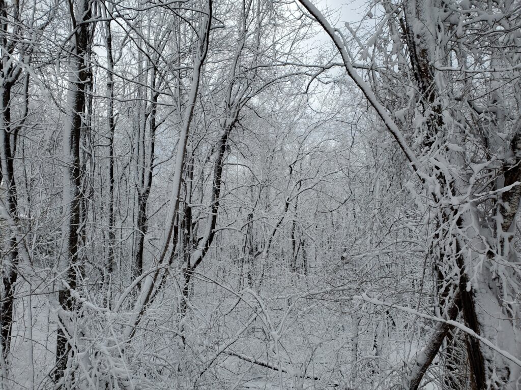
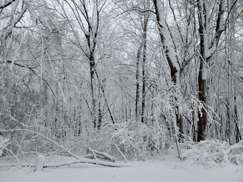
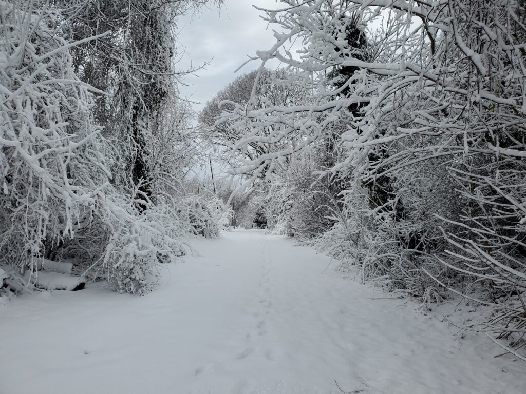
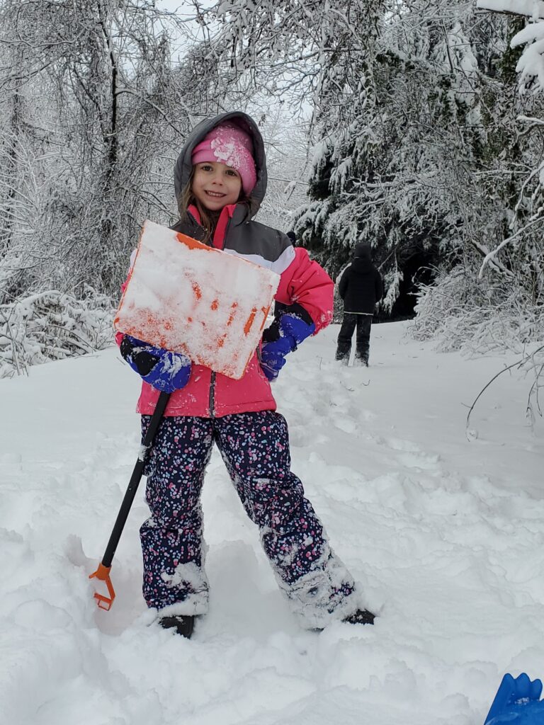
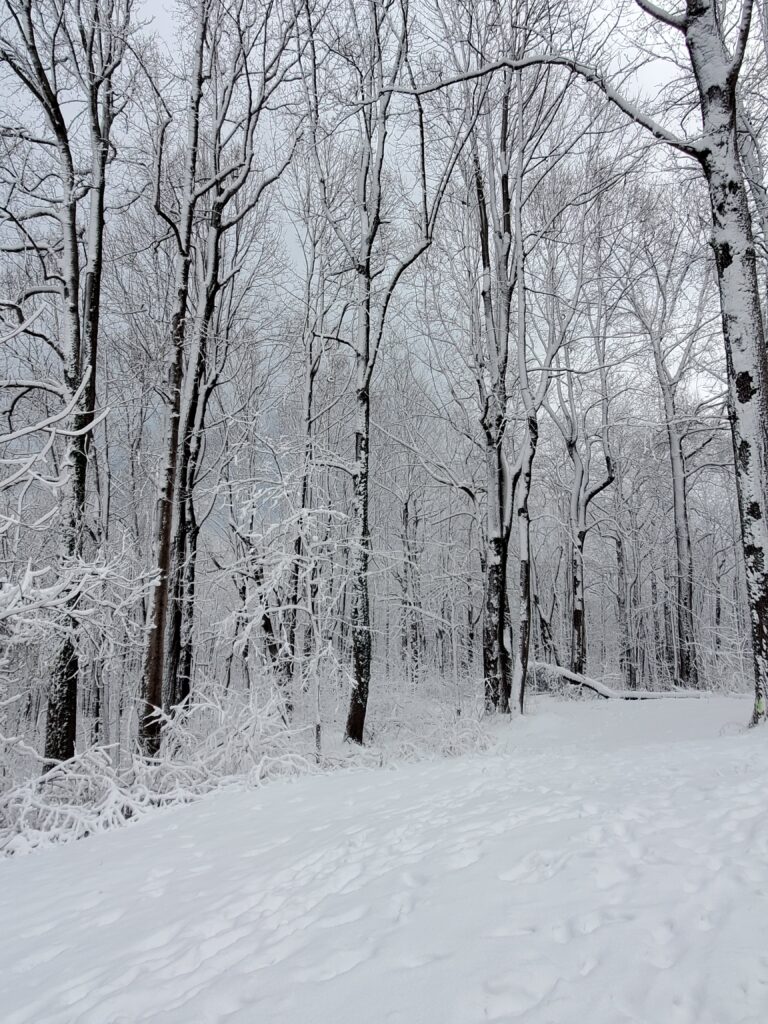
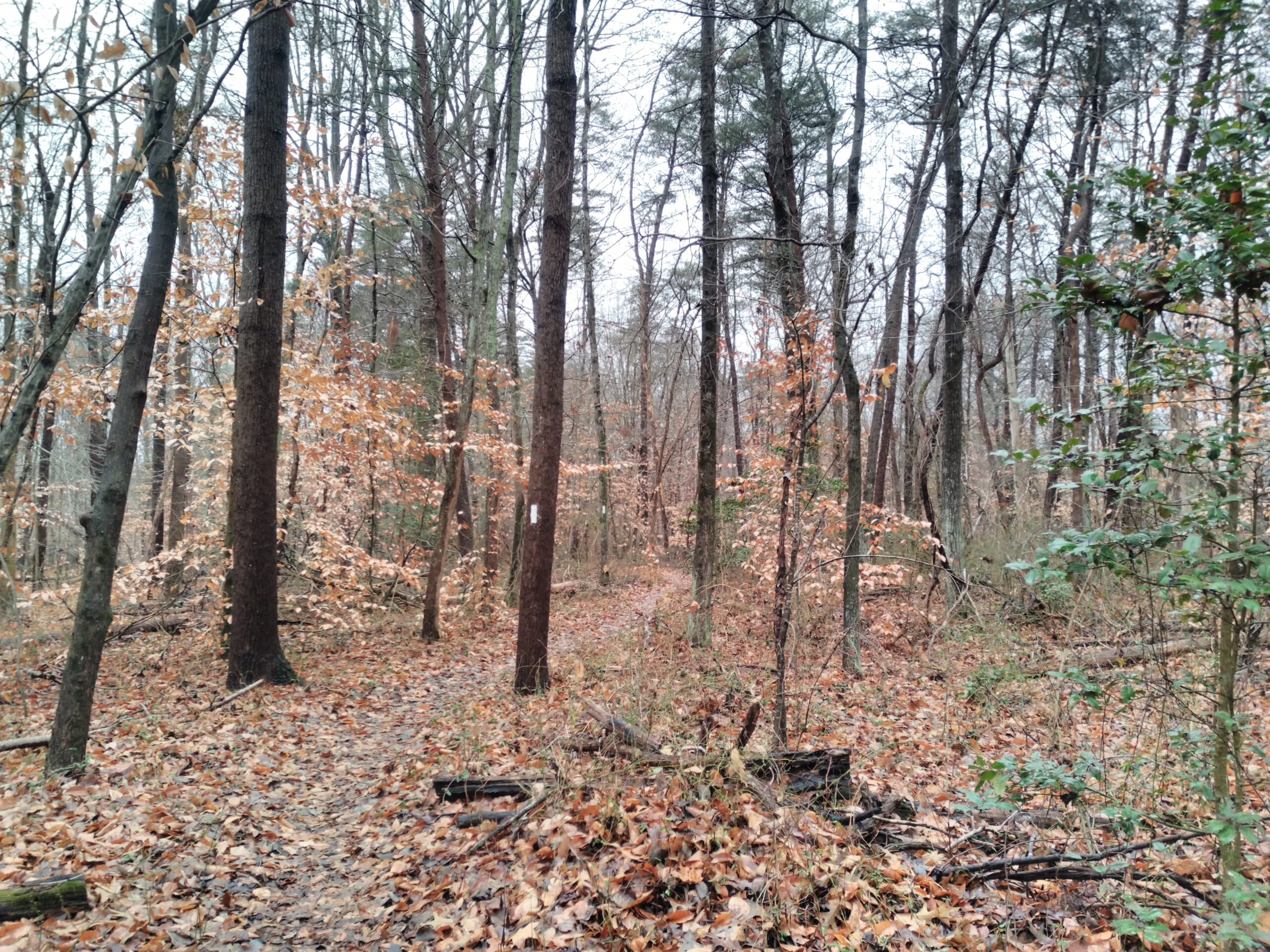
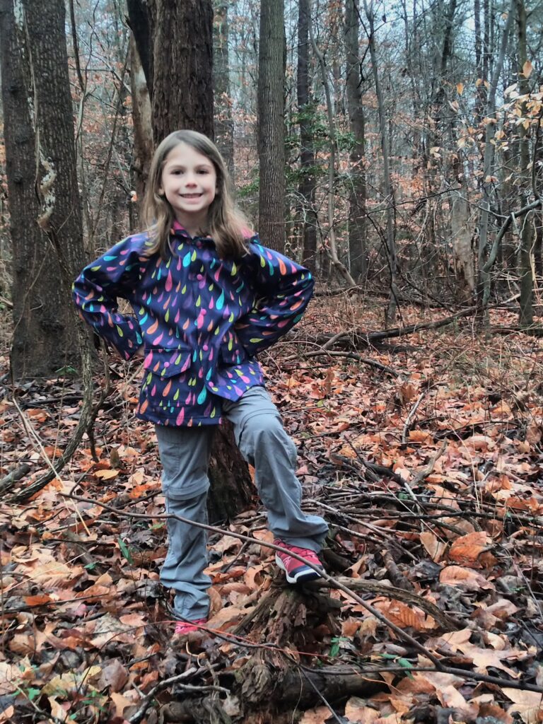
As is tradition, we ventured out for our first day of the year hike. Our destination was the trails of Bacon Ridge Natural Area in Anne Arundel county. The park has many hiking and biking trails along with many geocaches. We had been here before but there were areas we had not yet explored.
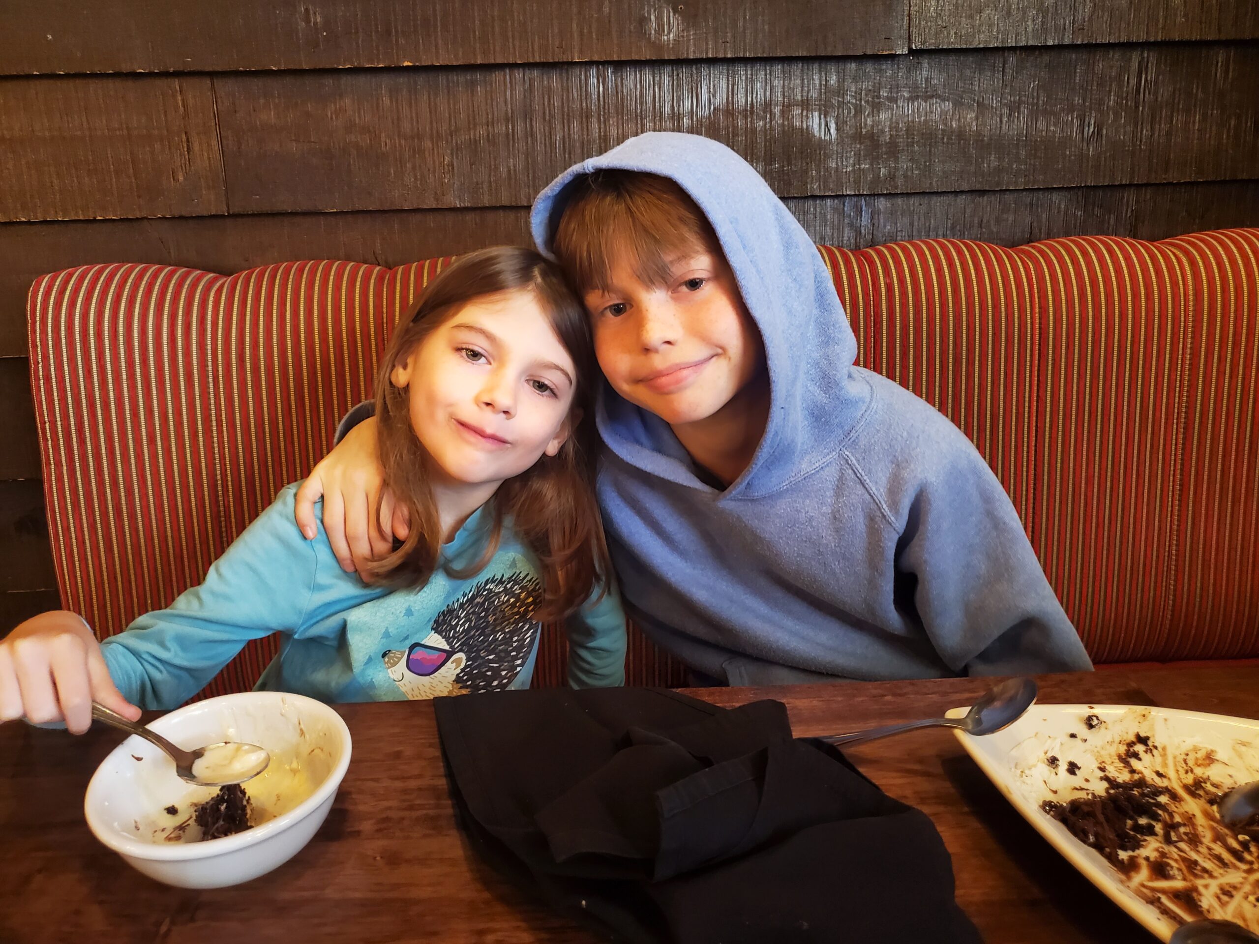
Our first stop, prior to making it to the park, was an Irish Pub restaurant near Davidsonville named Killarney House. We must go back to this place at some point as the food was excellent and it’s the first time both kids ate everything on their plates! We were so impressed with their enthusiasm we even got dessert (a wonderful chocolate ganache cake).
After stopping for lunch, we continued to the park almost ready for an afternoon nap to calm our stuffed bellies.
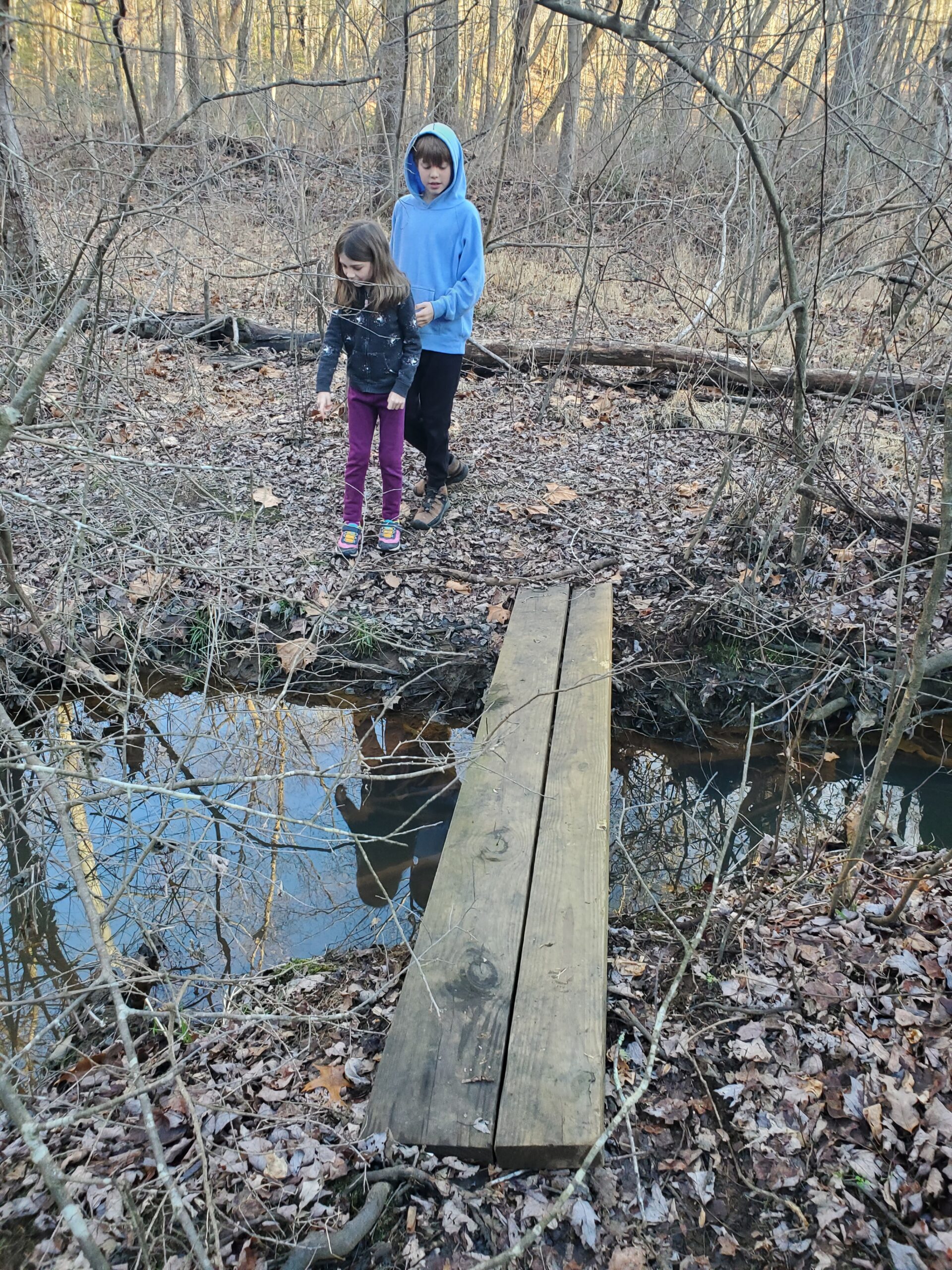
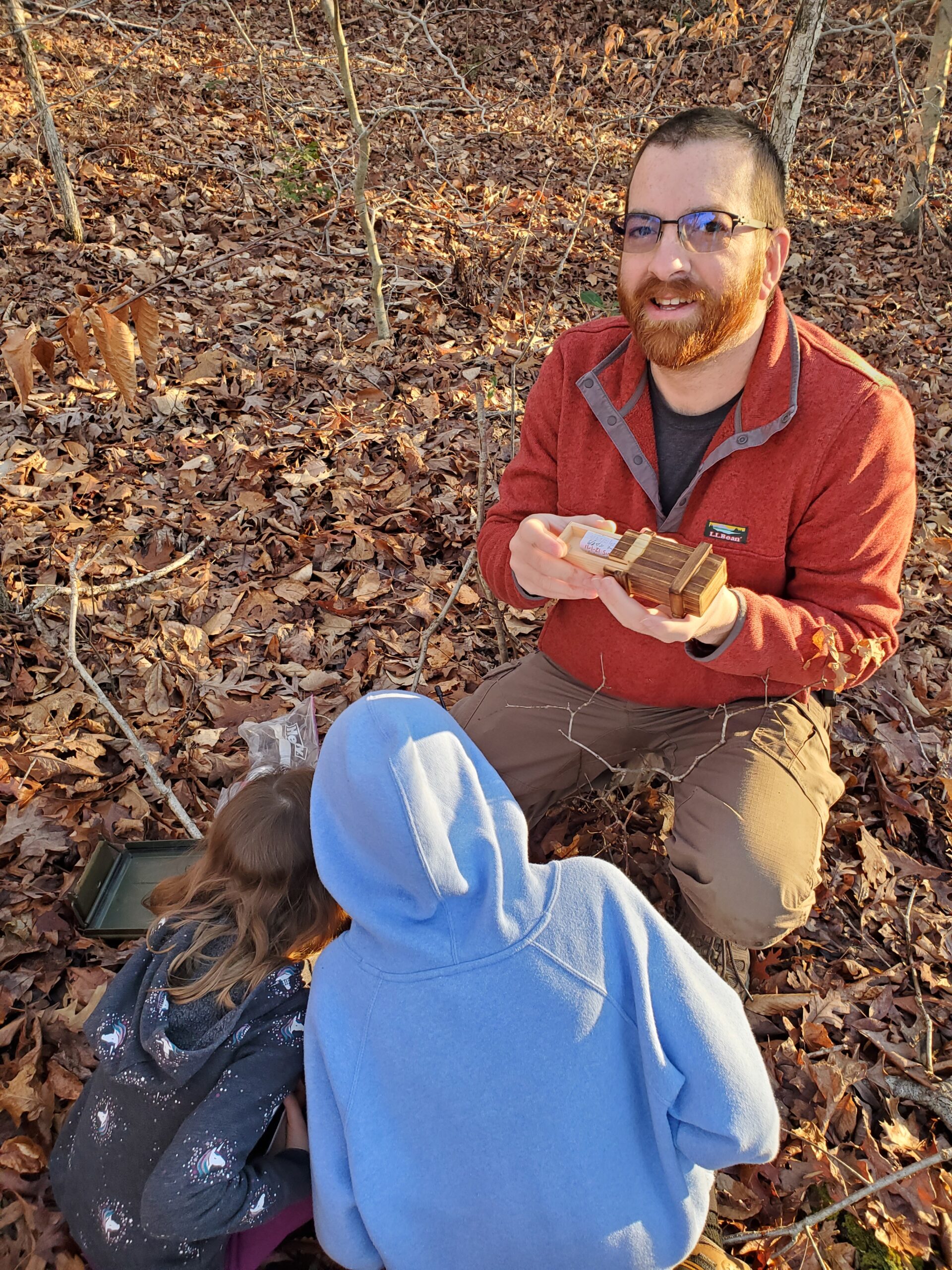
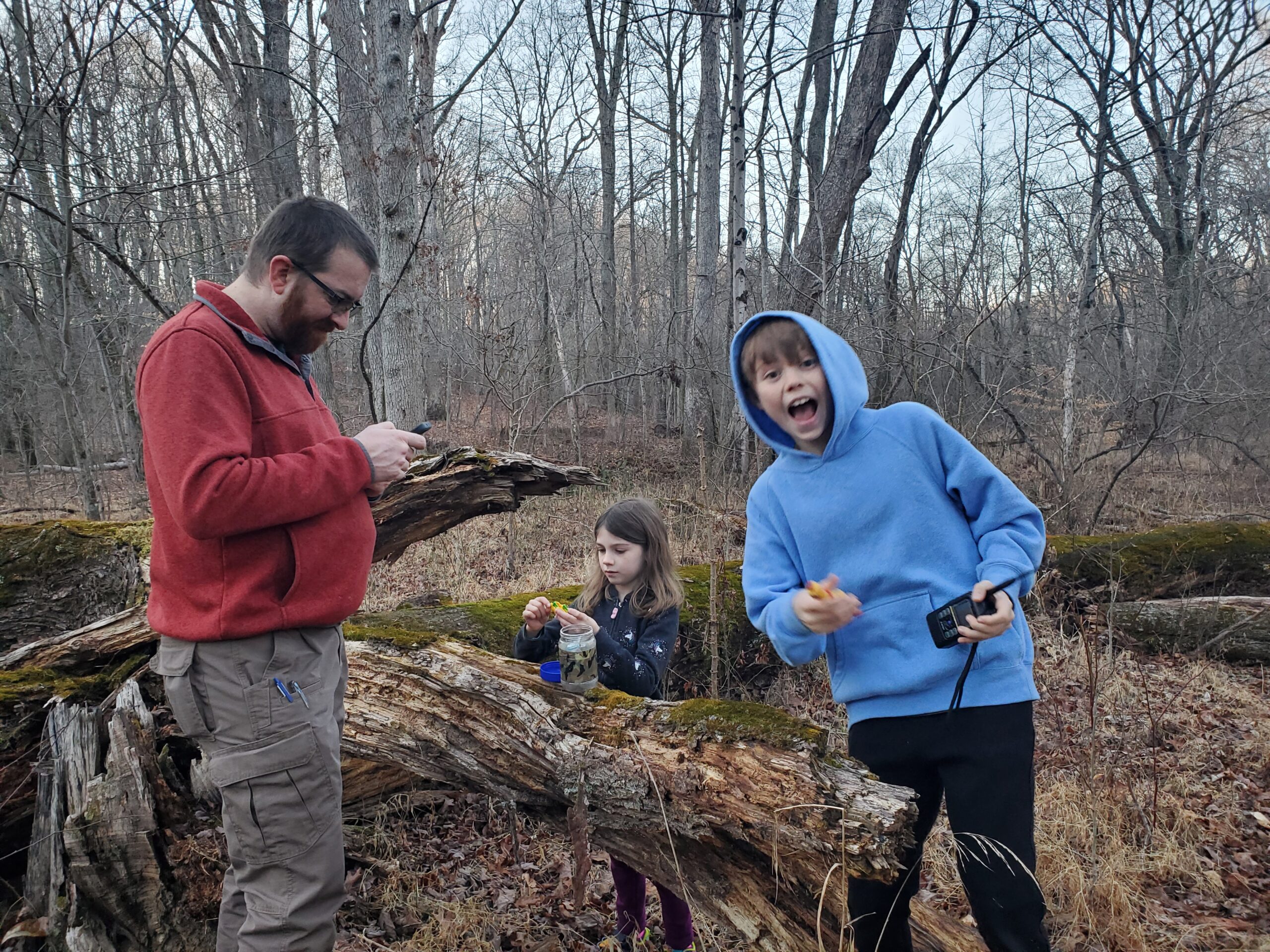
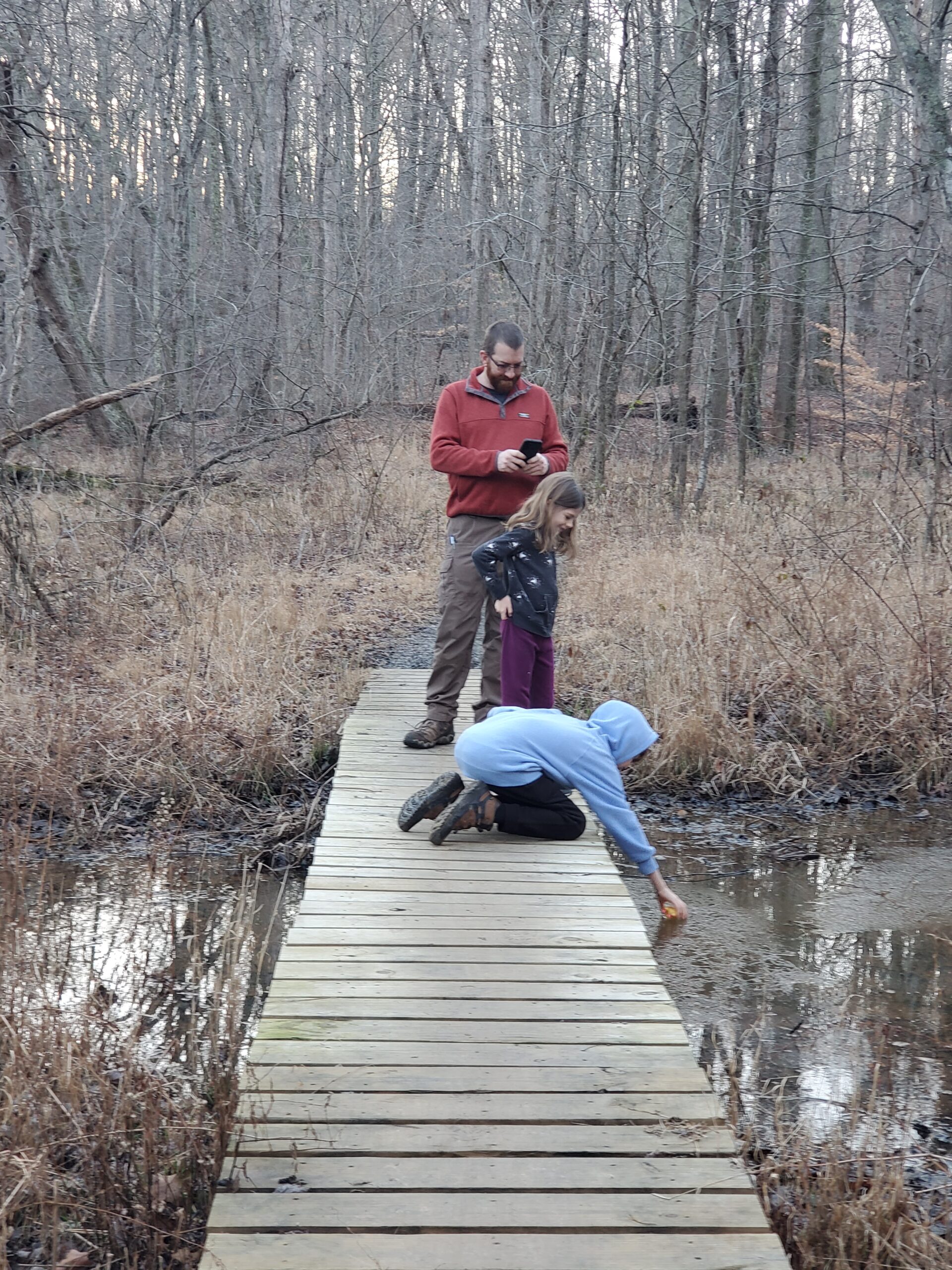
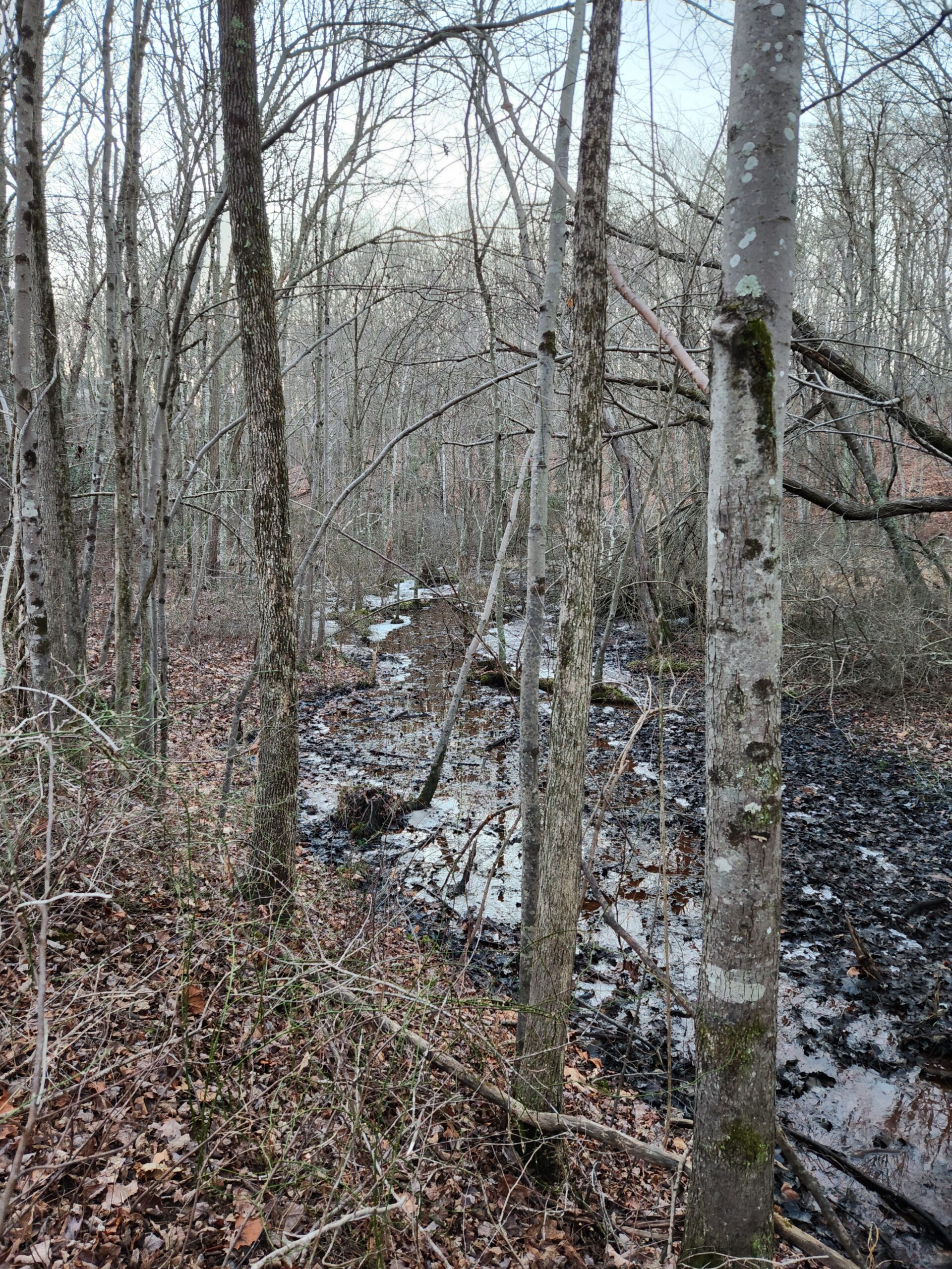
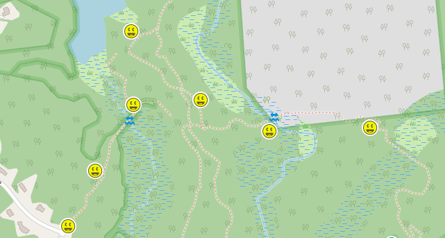
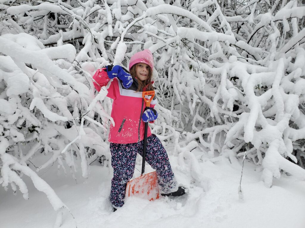
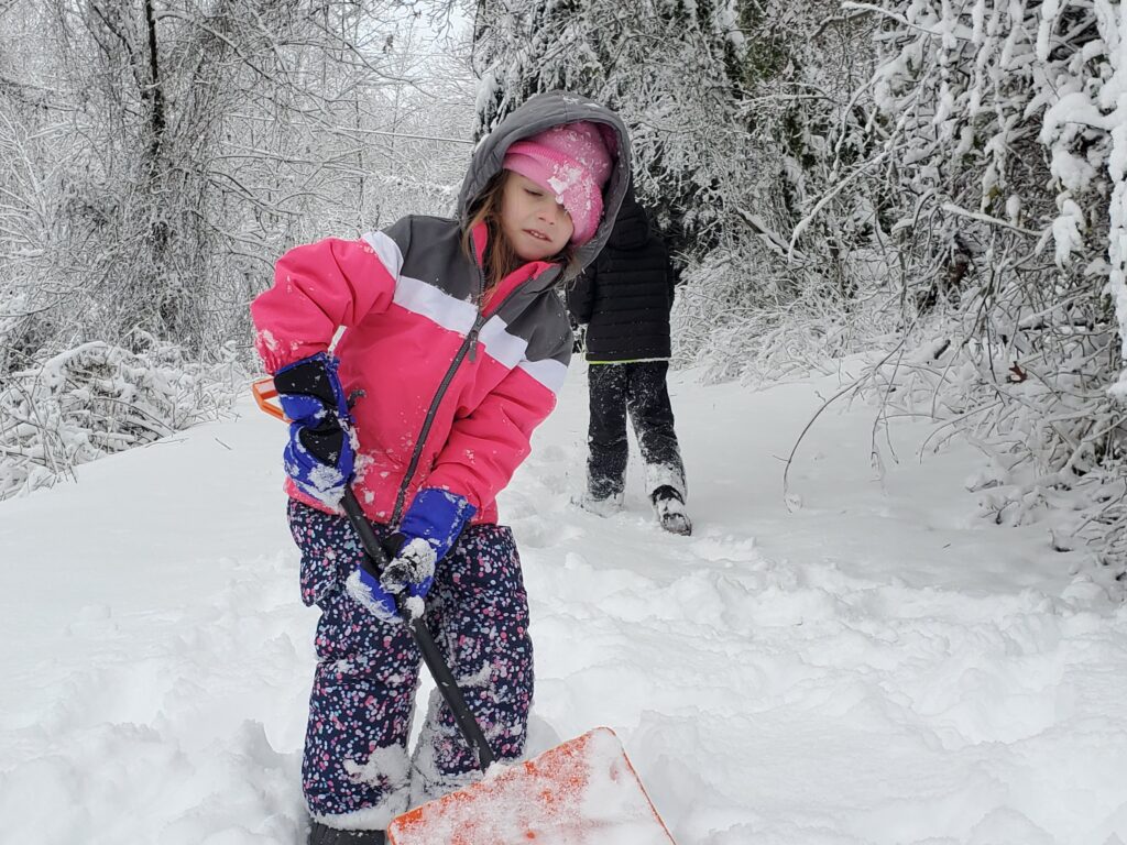
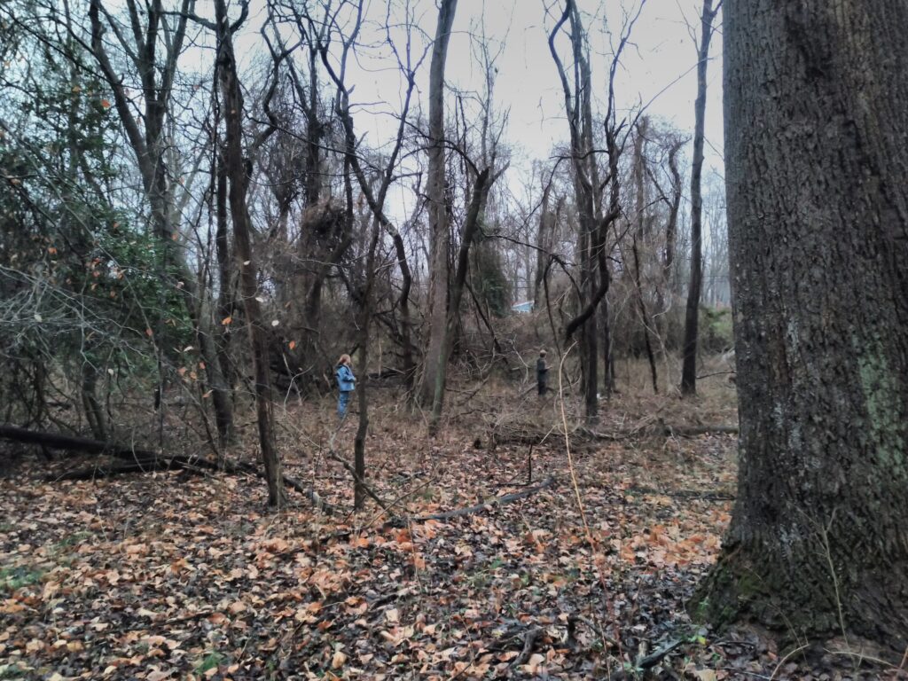
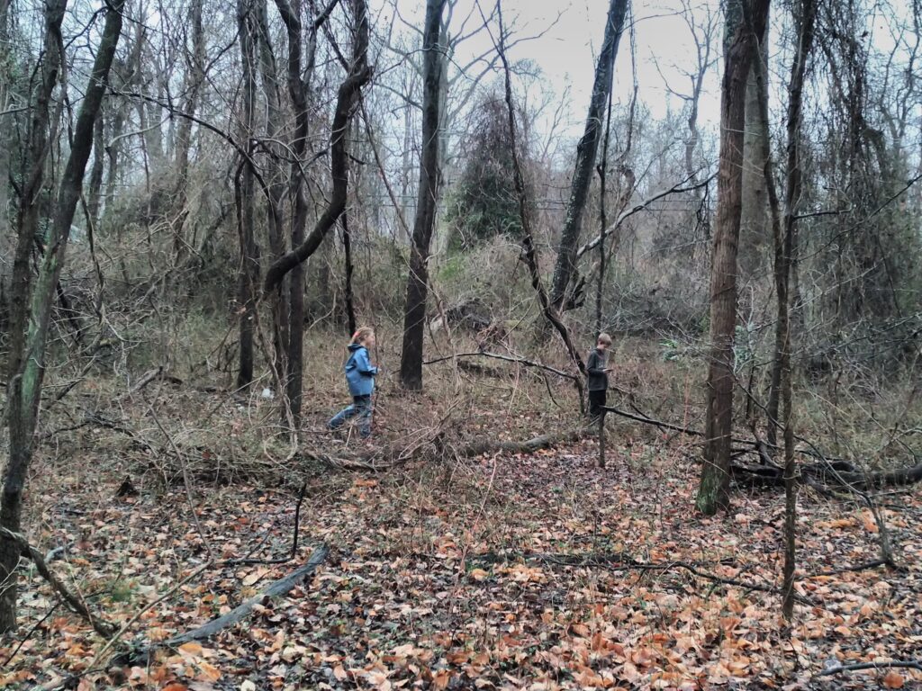
The park has a north and south parking area but we were interested in getting some Geocaches that were in the middle. We made entrance from an old track that started in a neighborhood and ended at a small stream that ran through the area. The kids generally ran ahead and played with the ice that littered the stream or picked up a stick to act as a tool suitable for poking things. Searching for the geocaches in the woods was fun as they usually aren’t hidden with great difficulty unlike most urban hides. We ended up finding seven caches overall.
The only animals we spotted along our journey were a few wayward geese that flew over. With everything turning cooler, most everything has found a place to hunker down for the cold season that is upon us.
We made it back to the car just before it got dark and set a route for home. Before we had left the neighborhood, however, we received a message from friends inviting us over for snacks and games. We were only fifteen minutes away so we made our way over there and had an enjoyable time hanging out, chatting about what’s been going on, and playing various board and card games.
All-in-all, it was a great way to start the new year.
A makeshift bridge crossing one of the creeks we encountered.A neat way to hide the log inside of a larger geocache container.Yep, we found another geocache.Ice in the stream!A map of the area we hiked with geocaches.
Lots of studying has paid off for Harlan. Among his recent engineering adventures with Destination Imagination, finishing the fourth grade, and basically trying to fend off the ever-mounting encroachment from his younger sister, Harlan passed his Technician level Amateur Radio exam!
Harlan’s Technician Certificate of Successful Completion of Examination
The paperwork has been filed with the Federal Communications Commission. As soon as they do their thing a callsign will be issued and Harlan will be on the air!
Update: Callsign issued
2022-06-14 – The FCC has issued the callsign KC3UJB to Harlan.
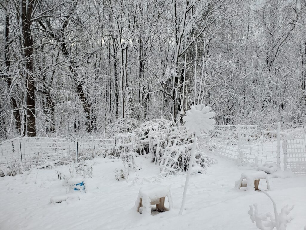
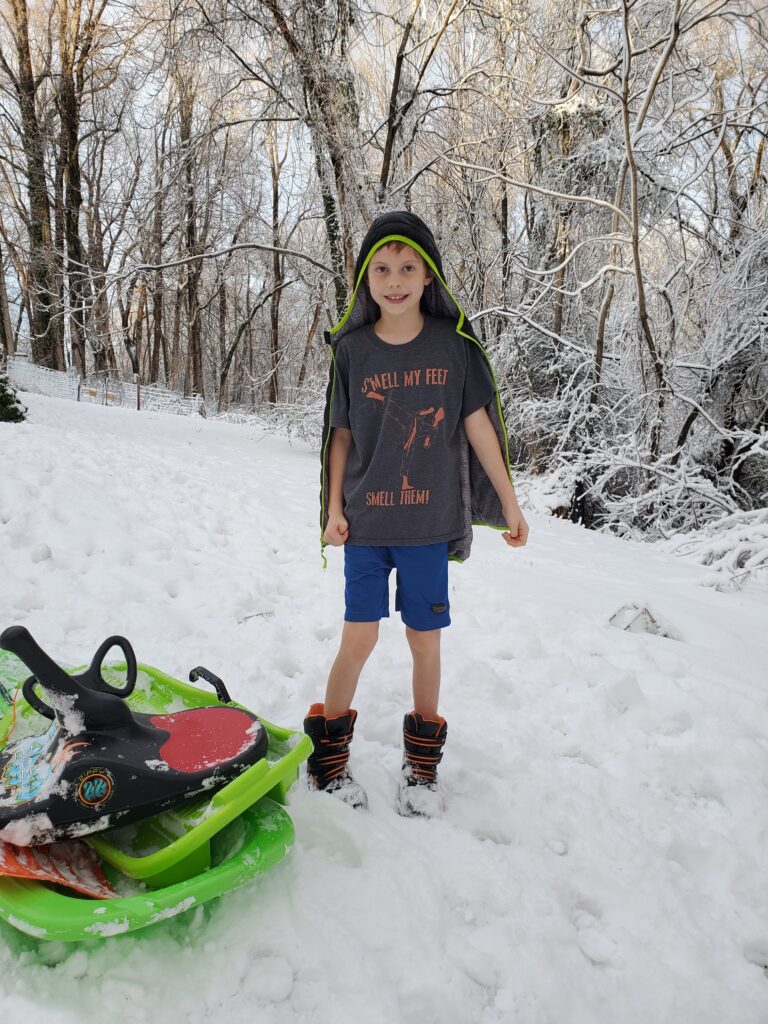
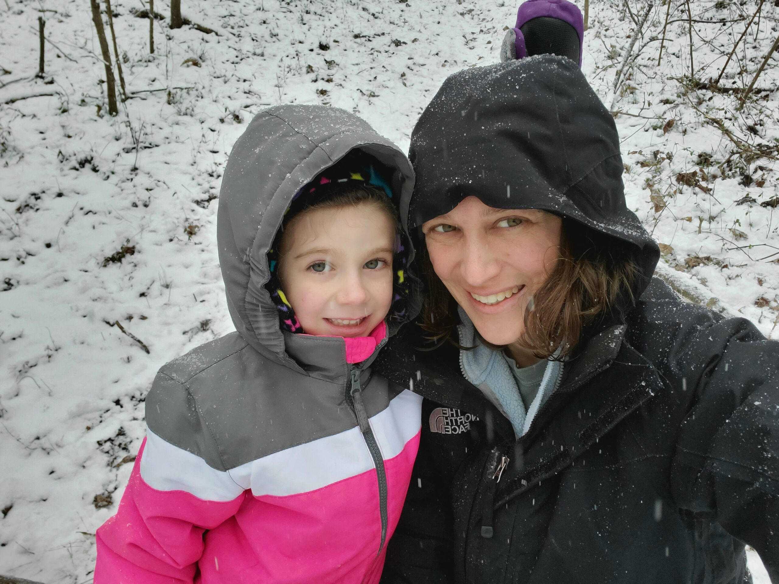
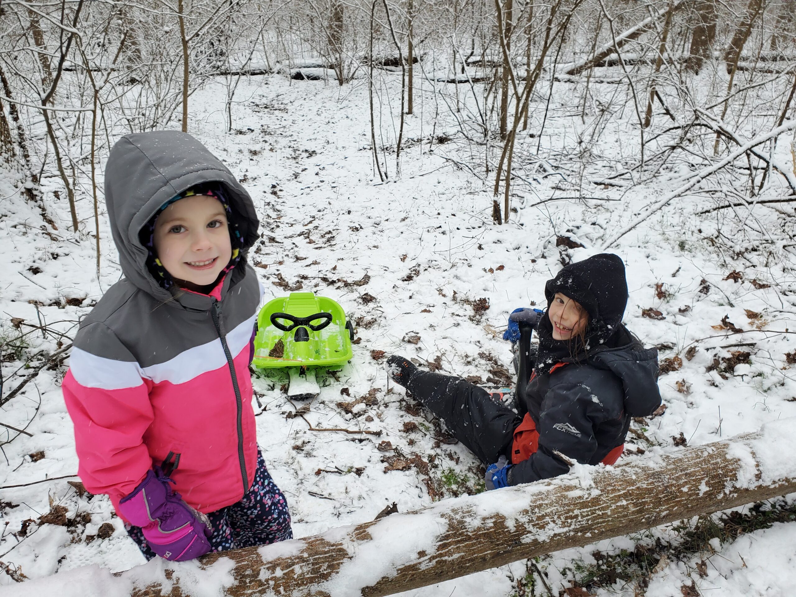
Well, that didn’t take long. Ever since the weather has started cooling down the kids have been asking “when is going to snow?” Well, this year brought us a nice heap of snow just three days into the new year! Sunday, January 2nd, was a comfortable 60F outside but by early Monday, those temperatures had dropped significantly leading to the rain we had been seeing the previous few days turning into a nice, heavy blanket of snow. In total, we had around nine inches of snowfall that created a fun place to play for the kids (and maybe the adults).
The loop trail at Jug Bay Nature Preserve at Waysons Corner
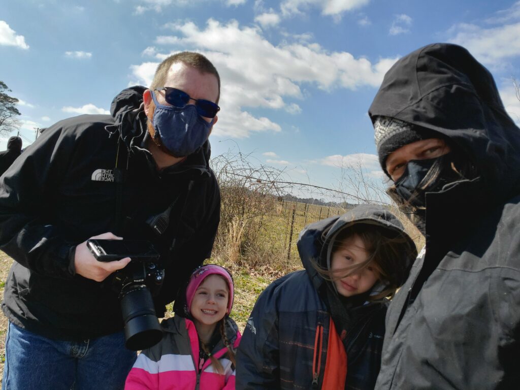
Ahh, yes, a new year, a new park to explore, and another First Day Hike! This year we descended upon the Jug Bay Nature Preserve at Waysons Corner and invited our friends, the Puglias, to join us for what we expected was going to be a short, but rainy, walk in the woods.
The weather, it turns out, wasn’t too bad after all. The rain mostly held off in the afternoon, although it remained overcast, during our stay. More than one mile was logged on the mile-long loop trail with the kids running back and forth looking for geocaches and generally having fun.
The park closed at 5 o’clock of which we were a little late in exiting. After parting ways with the Puglias, we ventured across the highway to Porkey’s BBQ. Although the sign says it serves “NC Style” barbecue (whatever that is), it was another bust for Maryland. I should know by now to never trust a barbecue place that claims to have North Carolina-style barbecue since that really isn’t a thing. A little doctoring to the meat when I got home made it edible, though, so it wasn’t a total loss.
The kids had fun; the adults too. It was, as always, a nice excuse to get out and explore.
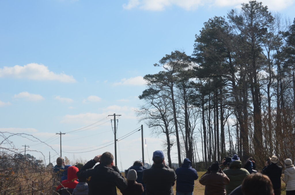
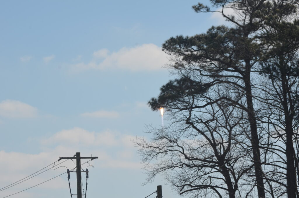
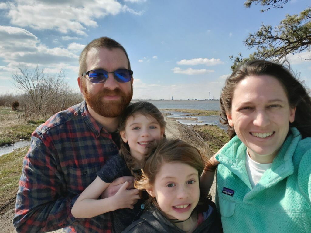
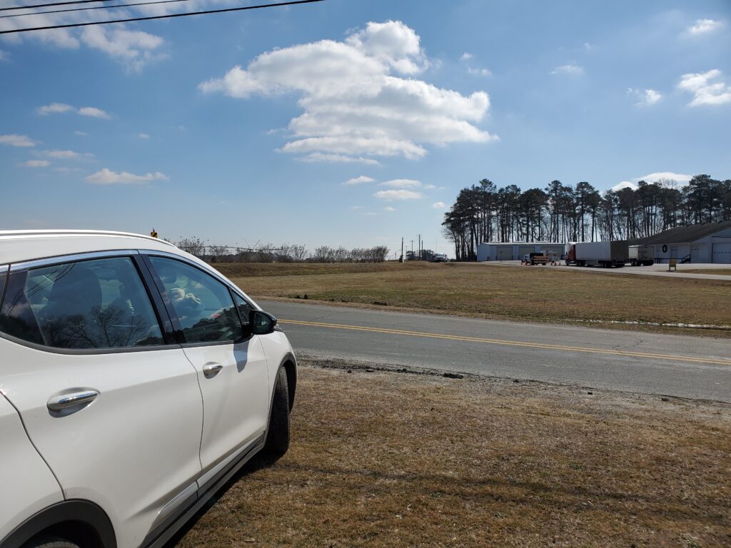
Who can resist a rocket launch a few miles away? We saw our first launch a couple years ago but haven’t been back for another until today. Having been cooped up in the house for months makes a day trip (~four hours each way) to the Wallops Flight Facility (WFF) seem sane. So, at 7 o’clock in the morning, we all hopped in the car and headed east to the DelMarVa peninsula.
The NG-15 mission is a “simple” resupply mission to the International Space Station. Lots of groceries and supplies and even some cool science experiments! The Cygnus spacecraft was thrust into orbit by an Antares rocket almost 37 minutes after Noon on a mostly sunny, chilly, and breezy day. Temperatures were in the mid-30Fs making it rather uncomfortable to stand around, but luckily we were able to wait until right before the launch to get out of the car.
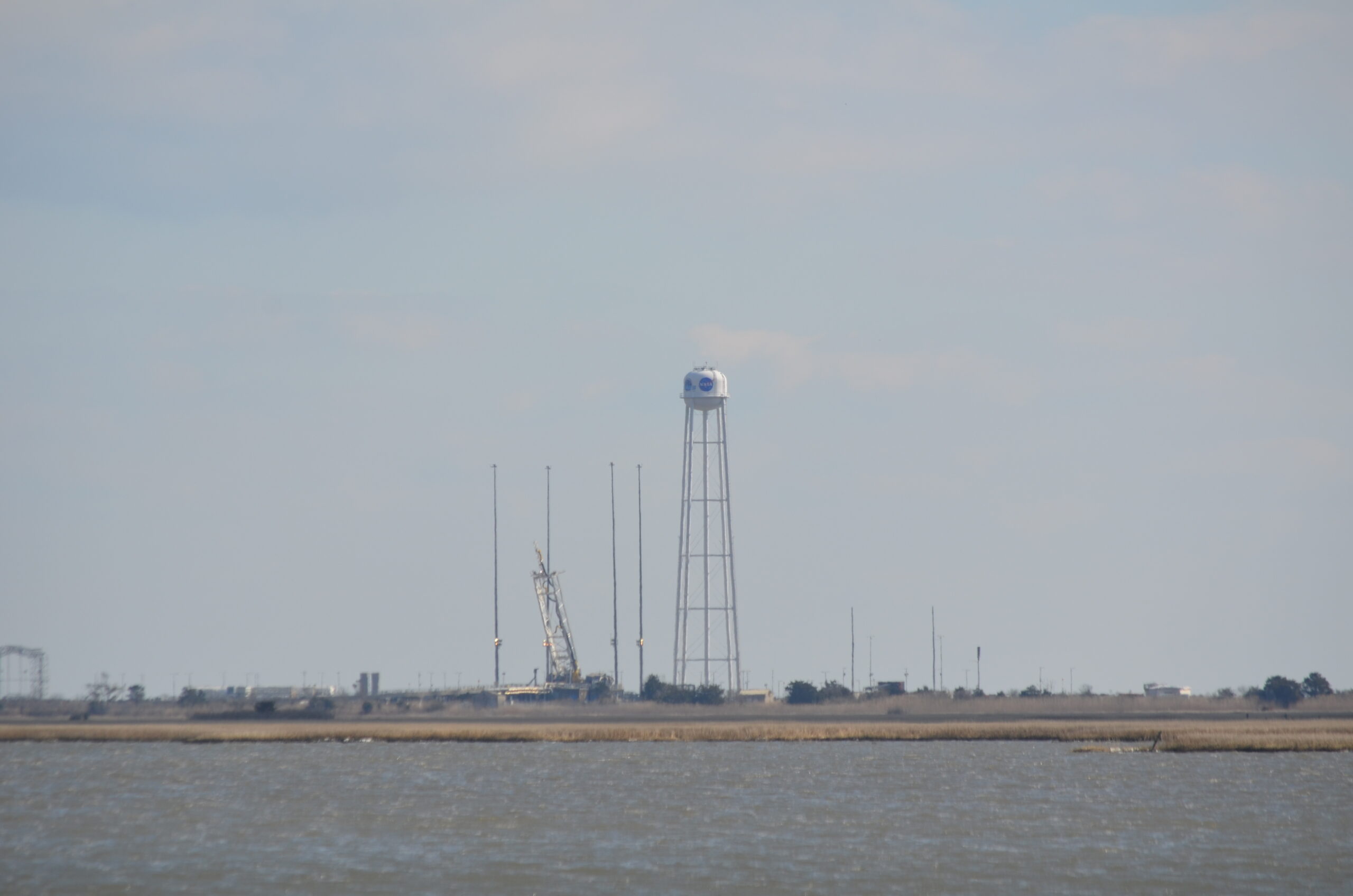
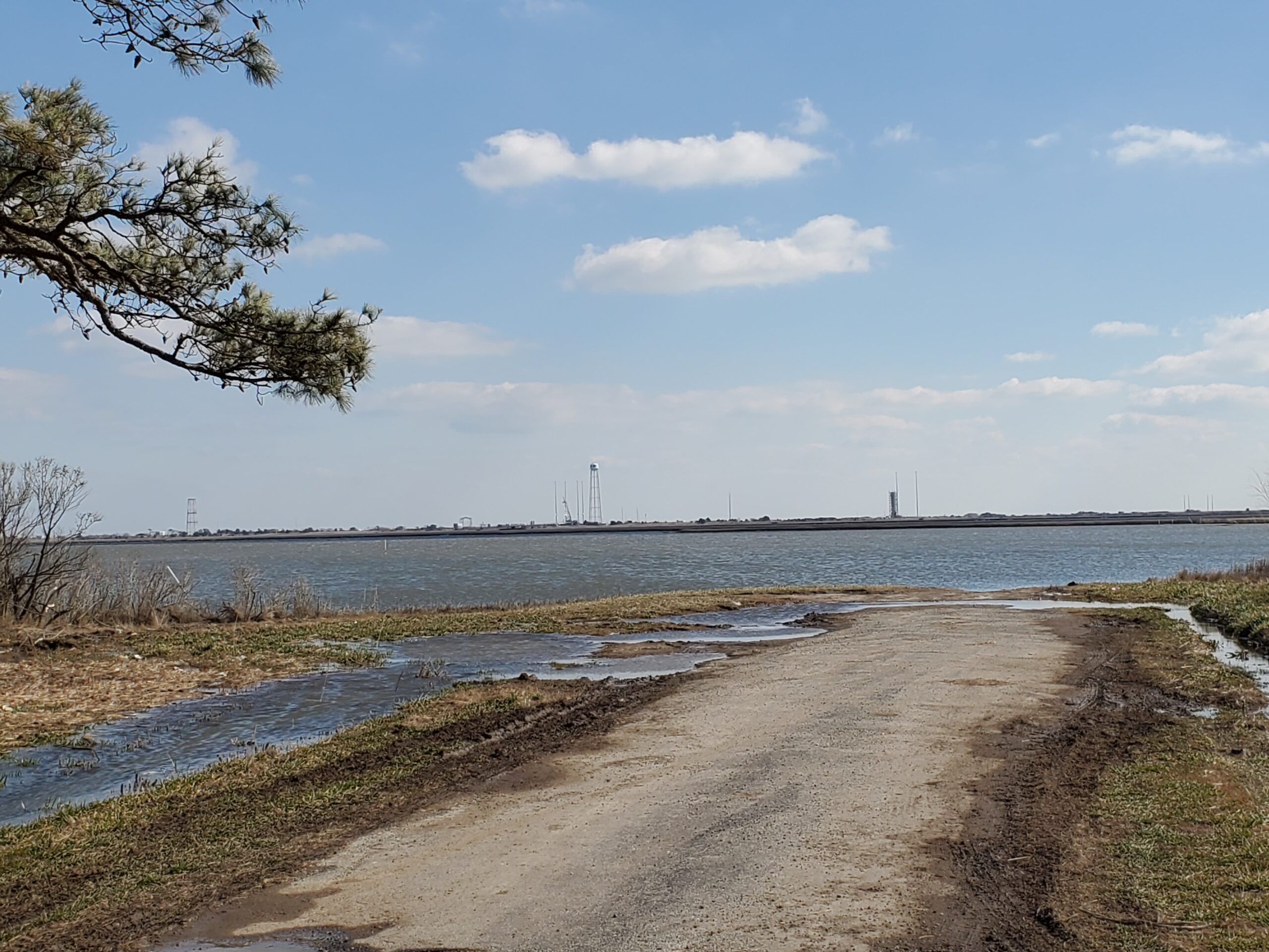
Due to COVID-19 restrictions, the visitor’s center at the Wallops Flight Facility was closed so we had to go figure out a new place to view the launch. Our improvised location, at the intersection of Atlantic Road and Wallops Island Road, was roughly 5.3 kilometers (3.3 miles) away from the launch pad. We were originally aiming for an unofficial viewing location along Arbuckle Neck Road but the road, a narrow country lane, was closed for the launch. The view at the end of that road would have been awesome, though as it is just across the water from the launch pad! The spot where we ended up though had a pretty fantastic view. It was incredible how much closer it felt than the last launch we watched from the WFF visitor’s center, which is 11.89 kilometers (7.39 miles) away from the launch pad. The rocket curved away from our viewing location, but as soon as it cleared the trees after launch it was visually quite impressive and fairly loud, even with the wind.
A view of the launch pad from the end of Arbuckle Neck Road.
One problem we had was that we didn’t have our scanner with us to monitor the countdown on the WFF trunked radio system. Watching NASA-TV allows you to listen to the countdown but with a significant delay. I think we were still showing 1 minute left in the countdown when the rocket appeared just above the horizon. Amanda quickly hit record on her cell phone when others in the small crowd that had gathered with us on the side of the road shouted out.
Video of the launch.
Here are some still pictures of the launch:
And some other pictures from the launch:
As close as we can get to the launch pad.
Our viewing point of view.
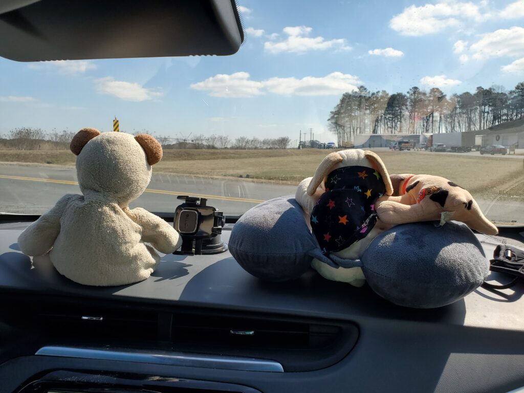
Even the pups and bear got a good view.
Did I mention it was chilly?
Look at these cuties!
This would have been a nice viewing spot for a launch (but not for an explosion)!
We have really been enjoying seeing what the wildlife camera captures and have tried a few different locations in the woods around the house.
Placement of the cameras have varied a bit as we’ve tried to find some activity but one location has yielded superb results from the beginning. A burrow opening is at the center of activity in this little piece of woods for some reason. We originally thought a racoon family lived there but it turns out to be something different entirely!
First, what’s the woods without a couple of raccoons. These two are seen almost daily in and around this area although they are usually much friendlier to each other.
She is not happy with him!
Here’s a nice daytime video of a red fox. We’ve gotten multiple night videos as well, but haven’t quite decided whether two ore maybe three foxes coming around.
One of at least two foxes that regularly appear in our records.
More animals came to visit as well the burrow as well. We love opossums and were very happy to find this guy stopping by for a visit. Unfortunately, we haven’t seen any more opossums since.
An opossum stops by for a visit.
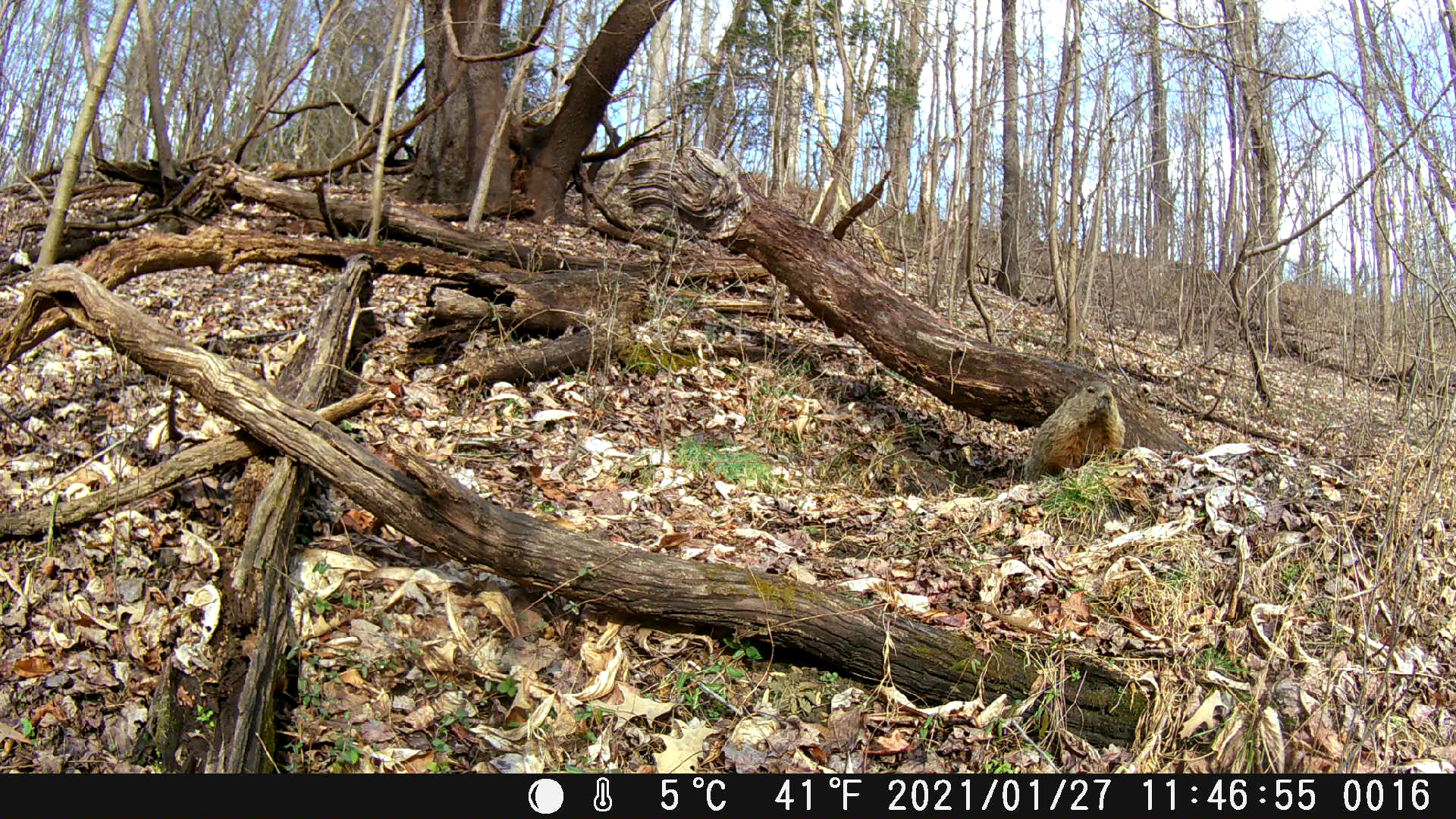
And finally, the creature we’ve all been waiting for finally emerges from his burrow and comes to check to see if Spring here yet.
Meet Gary, the grumpy groundhog!
We’d show you the video but it wouldn’t matter, he literally sat still the entire time the camera was running. He does move, though.
Gary does move, when he wants to.
Harlan found another burrow that we surveilled for a while but never caught any animal snooping around the entrance. We did find lots of curious deer, however, passing through the area quite frequently.
Lots of deer.
We started with one camera and now have three. It’s been fun seeing all our non-human neighbors that literally live right outside our house. We’ve seen the deer wander through the yard and occasionally a fox and racoon, but certainly not to the extent we’re seeing now. It’s amazing to see the activity that happening all during the night and day! Eric has started tracking the different animals and now has a rudimentary map of where some of the animal superhighways exist in our woods. Perhaps we’ll have some new animals to show off soon.
Winter Storm Warnings went up last night and we were hoping for a huge snow storm! Of course, we weren’t forecast to have that much snow; somewhere between two and four inches. But that would have been more than we received last year!
The snow started around 4:20 AM and dumped enough snow on the ground in that first hour to coat the driveway nearest the house with snow. By the time sun rose, the ground was snow covered with clumps of grass showing through.
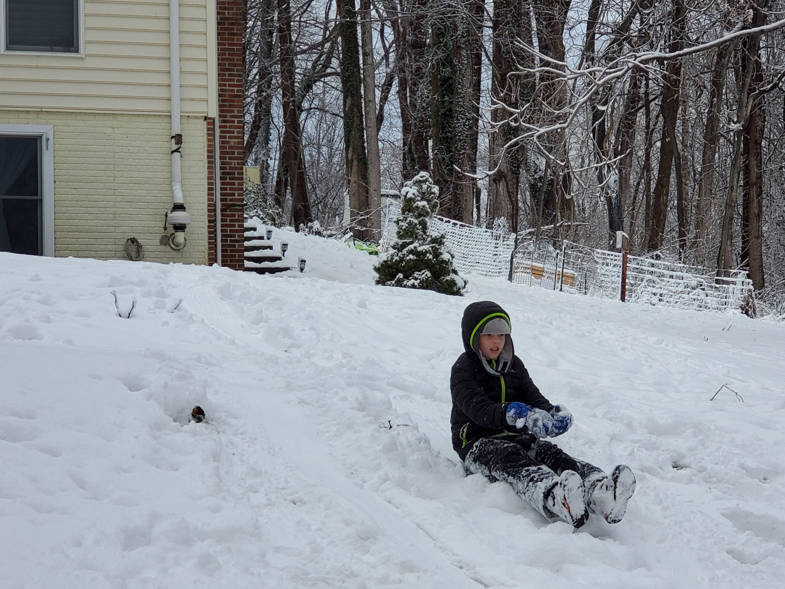
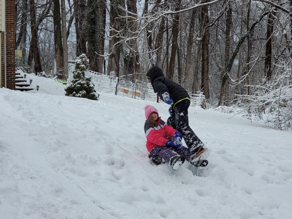
Sledding
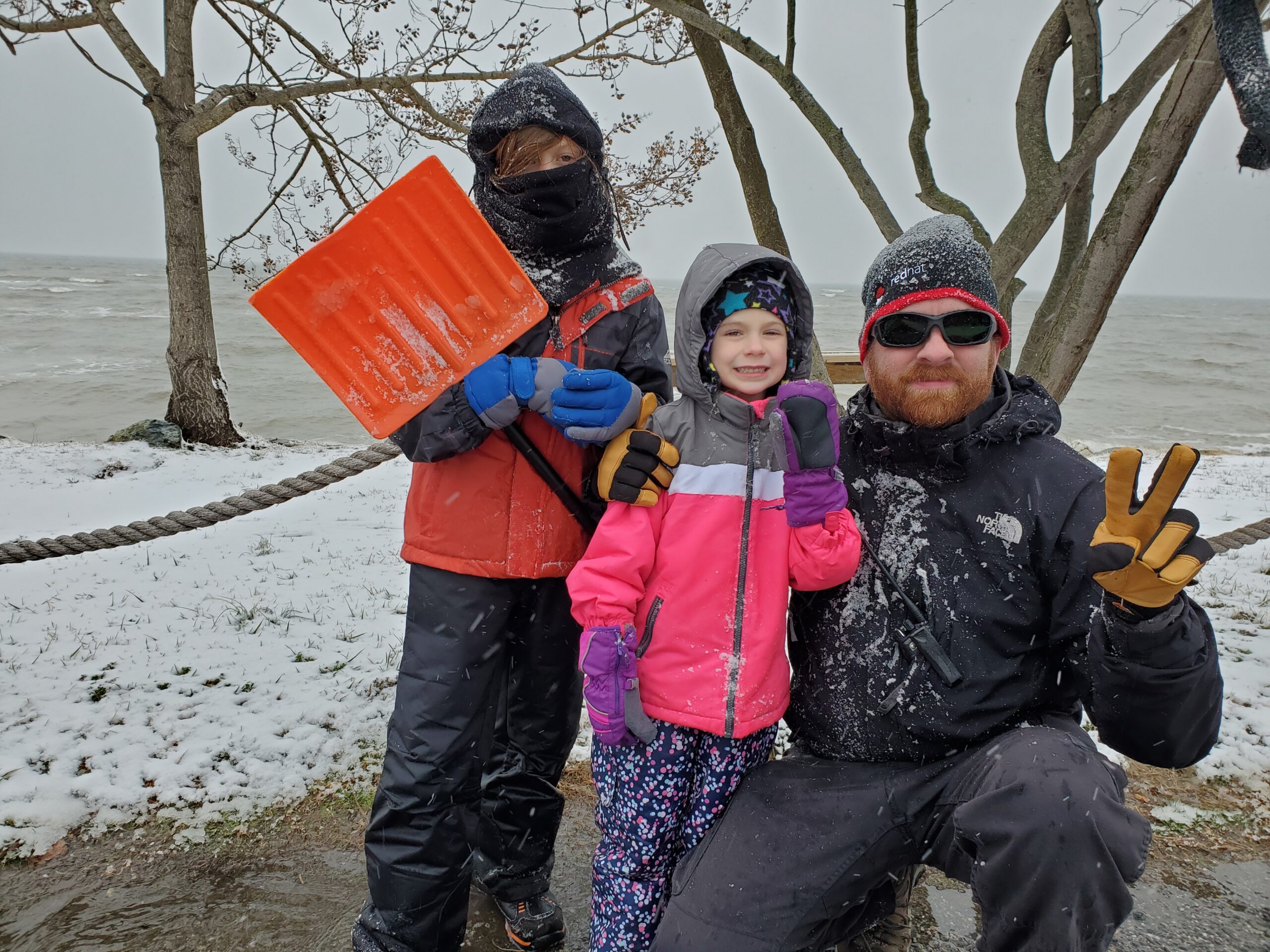
Of course, as soon as the sun came up the kids were out the door exploring, playing, and generally causing mischief. There was just enough snow for sledding on our now shorter sled run (the top of the run is blocked by fallen trees from Hurricane Isaias). We also walked down to the Bay to see what the beach looked like.
Harlan, Elise, and Eric in their winter attire in front of the Chesapeake Bay.
Elise in the snow making snow angels.
Elise and Amanda posing in the snow.
Elise and Harlan at the top of the sledding hill with sleds at the ready.
And then there is sledding with Harlan, who took the following compilation video…
For Christmas Harlan received a wildlife camera that you can strap to a tree and the camera uses motion detectors to take pictures and video when it detects motion. We deployed it last night, in the dark, to see what we could capture.
Snowing just after deployment.Kids out exploring in the morning.
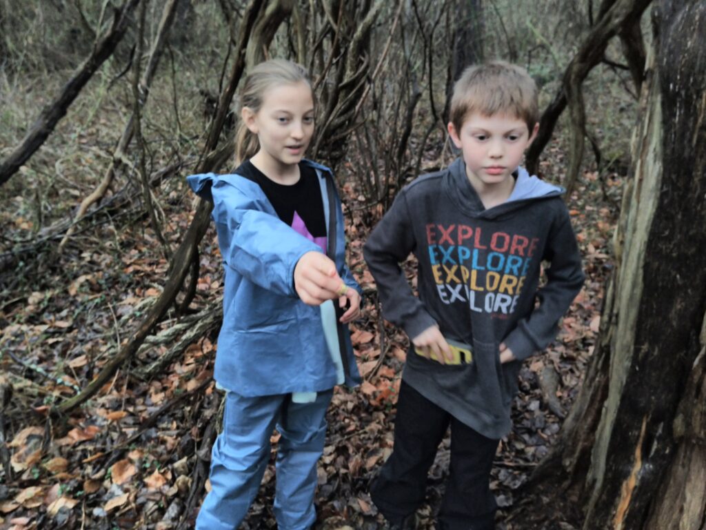
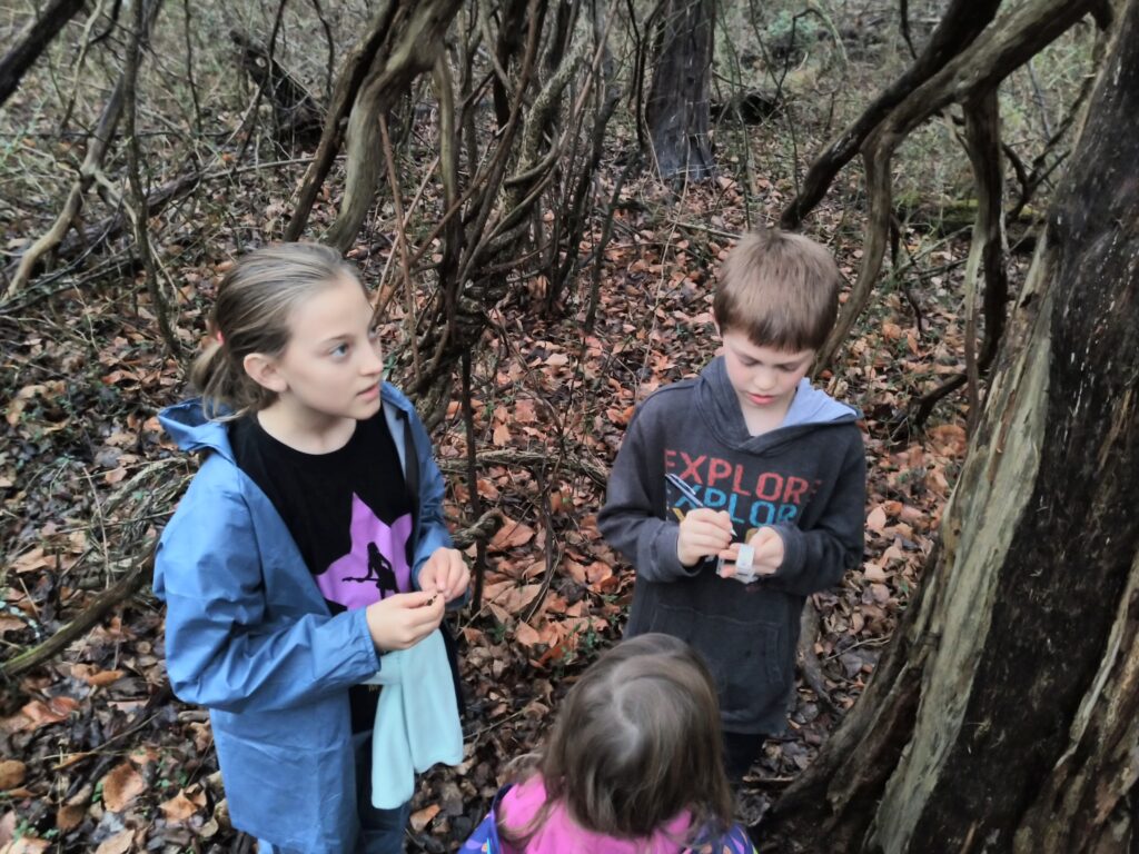
The last few days we’ve been getting out of the house and doing some socially-distanced activities outside. Of course, those activities involved finding plastic containers in the middle of the woods (a.k.a. Geocaching). The kids are usually excited about getting out of the house and always excited to actually find something hidden in plain sight. During the previous few days we just concentrated on the handful of caches we have left over near our house. But today we ventured out and worked on some of the more educational caches in nearby Charles County.
Several governmental organizations have started using Geocaches to educate the public about whatever their particular niche is in life. This is a good thing. You can now target a certain feature on an otherwise large landscape of area and almost force people to take away some type of information.
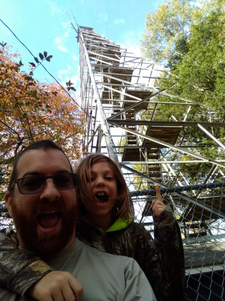
Sponsored by the Mid-Atlantic Forest Fire Compact, a mutual-aid organization that brings resources together to combat wildland fires from as far north as Ohio through as far south as Virginia. There are seventy-five caches just waiting for us to go find them and yesterday we found two.
The first was at the Welcome Forestry Tower. This tower, build by the CCC in 1934, is nearly ninety years old! Twenty miles of telephone line had to be run to the tower before it could be placed in service.
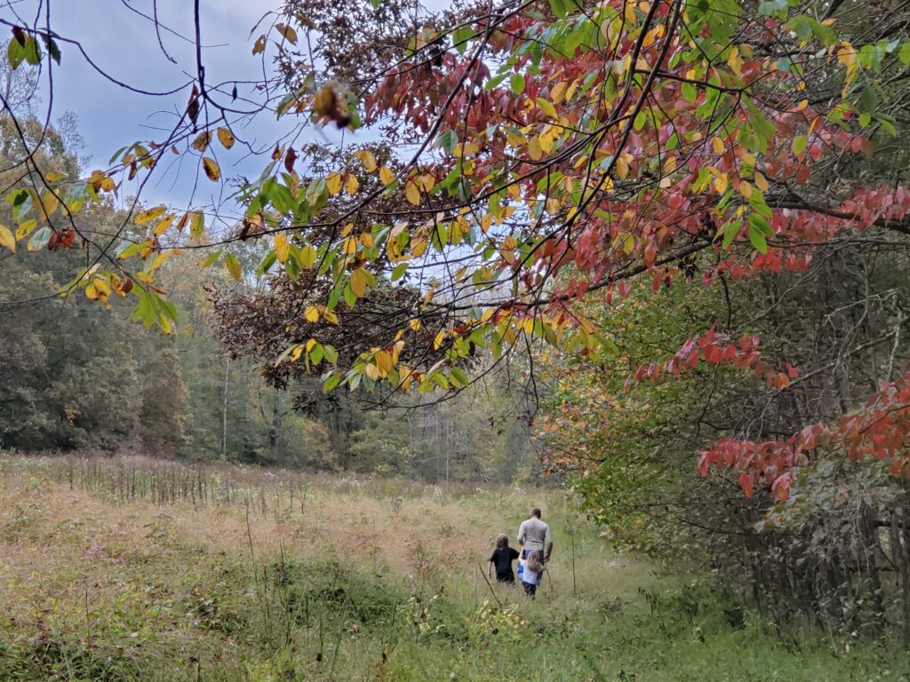
We then visted the Doncaster Demonstration Forest where we hiked to see a fire plow, used for creating fire breaks and usually pulled by a tractor. The hike to the plow was just less than two miles, round trip, down a fire road so that was fun.
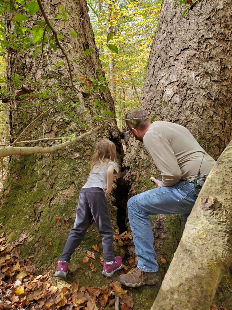
As part of the UN’s International Year of Forests Big Tree GeoTour, this huge tree was made into a great place to hide a Geocache.
Thomas Stone National Historic Site
This is one of those places where you wouldn’t have known it was here unless you were looking. The Thomas Stone National Historic Site is the site of, you guessed it, Thomas Stone. Well, it’s where he lived and where he’s buried so, yep, he’s still here. This guy was quite popular. He was voted into the continental congress a couple of times, signed the United States Declaration of Independence, and then was asked to join the congress, again, after the American Revolution. He declined, noting hiss wife’s failing health, though. Again, he must have been a very popular guy.
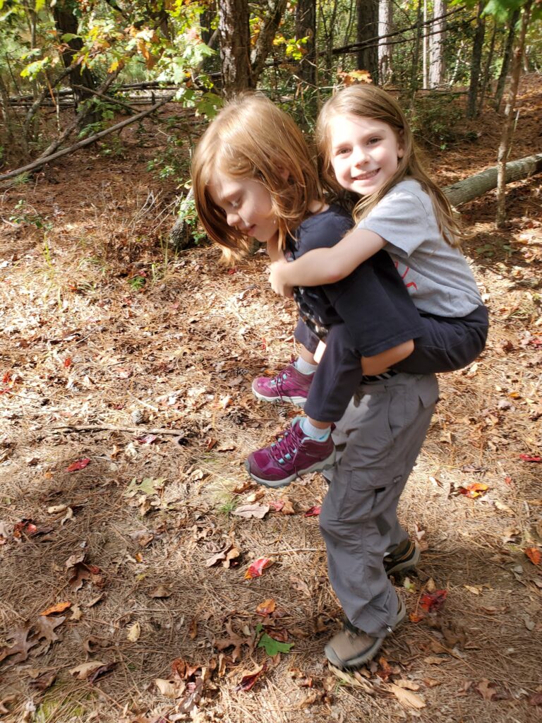
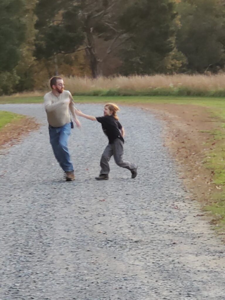
It’s good to have a big brother… sometimes.
We answered the questions, now we have to collect our prize.
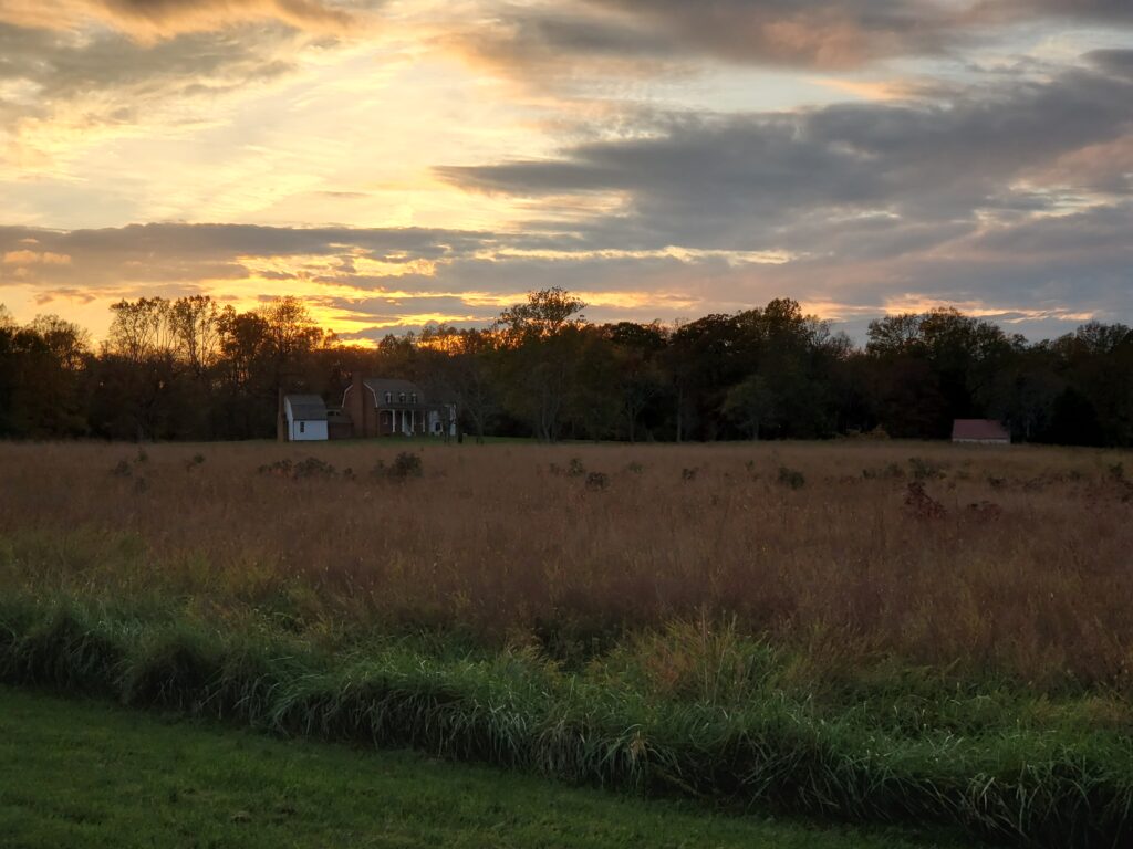
Sunset over the Stone estate.
Stop touching me!
This accounts for the majority of the educational portion of the show. We made a few other stops along the way and took a nice walk here and there but nothing too note worthy, except for…
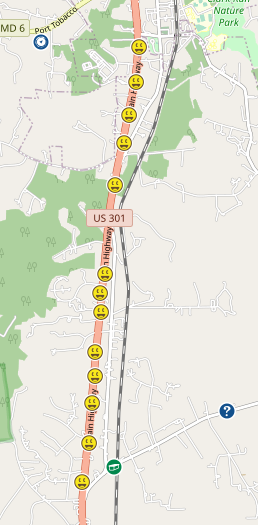
How many guardrail caches can Amanda get?
Since I’m usually driving, Amanda is usually hopping out get the quick ‘park and grab’ caches. And boy does she love a good guardrail cache. There’s just something about the five or so ways one can hide something on a guardrail that just infuriates her.
So, with the sun setting, and traffic flying by at the legal limit of 55 MPH (ha ha ha), we set off to collect the thirteen guardrail caches that live next to US 301. It’s all about the numbers!
Honestly, I’m a little disappointed. They could have totally crammed in a few extra caches as we passed several unused guardrails. I mean, seriously, who would do that?
Amanda was a trooper, though, and we got into a rhythm and we made quick work of all these hides. My favorite portion of this trip was when we pulled into an abandoned bar’s parking lot. The building was for sale and Harlan noted the place was called “Good Times”. Yes, you too can buy good times.
By the time we made it back home, we had logged twenty-three finds. Not a record, by any means, but it was a fun and educational day. Heck, we even got in a few miles worth of hiking to boot! Where will Geocaching take us next?